JEFFERSON
COUNTY MISSOURI HISTORICAL MAPS
Jefferson County is
located in the east central part of the State of Missouri. It is bounded on the
north by St. Louis County; east by the Mississippi River, which separates it
from
Jefferson County was
officially formed on December 8, 1818 with Herculaneum, then a town of 200
serving as the County seat. The County seat was moved to the present day
location
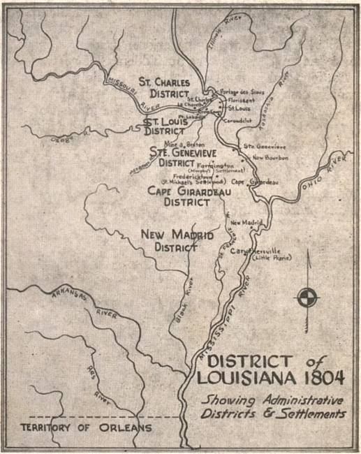
District
of Louisiana 1804
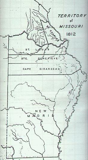
Territory
of Missouri 1812
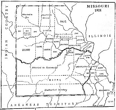
Territory
of Missouri 1821 showing Jefferson County
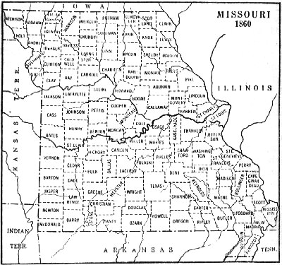
1860
Missouri Counties